
Fire Detection
& Mapping
Saving lives & property
When it comes to combating wildfires, aerial firefighting aircrews are the heroes on the frontlines. Trakka Systems provides a total solution package that equips these crews with the necessary tools to navigate through smoke, haze, and darkness, providing critical support to the ground teams.
With Trakka Systems’ critical vision technologies, aerial firefighting teams can confidently tackle even the most challenging fires, gaining enhanced awareness of fire behavior, enabling them to predict, detect, and analyze wildfires more effectively.
TrakkaCam’s radiometric airborne camera measures temperature and U.V. discharge levels, while our short-wave infrared sensors are ideally suited to see through haze and dense smoke, delivering clear imaging and visibility.
The TrakkaBeam high-intensity searchlight provides powerful lighting in compromised environments, and our TrakkaMaps mapping software offers a comprehensive range of views, including 3D, street, satellite, and augmented reality, to ensure situational clarity and effective communication.
Trakka Total Mission Solutions empower firefighting aircrews to make optimal decisions in the heat of the moment, saving lives, protecting property, and minimizing the economic impact of uncontrolled wildfires.
Total Solution Packages

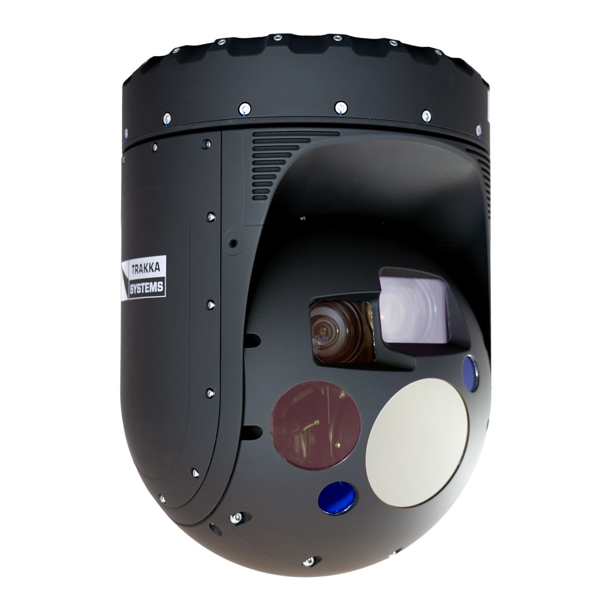
TrakkaCam TC-300-R
The TC-300-R features a fully radiometric, HD, LWIR camera in a compact, gyro-stabilized gimbal, enabling real-time temperature measurement of energized components while capturing HD video from the air. The radiometric LWIR sensor also penetrates smoke, delivering accurate hot-spot detection day or night. Offered in dedicatedPower & Utility and Firefighting models, the TC-300-R is tailored for the unique demands of each mission. Faster, more accurate surveillances and inspections save time, save money, and save lives. The system is ITAR free and widely exportable.

TrakkaCam TC-375 QUAD
The TC-375 QUAD is a cutting-edge, stabilized multispectral camera system for utility and environmental inspections. This powerful tool enables real-time detection and identification of critical issues, such as fault anomalies and corona discharges. The system captures high-resolution still and video images to support rapid decision-making and response. It is ideal for a wide range of applications, including powerline and pipeline inspections, wildfire fighting, environmental monitoring, and other critical applications.
TrakkaCam TC-300-SWIR Gen II
Built on a compact, lightweight, single-LRU design, the TC-300-SWIR Gen II now offers High-Definition or Standard-Definition shortwave infrared (SWIR) sensor options. The SWIR waveband provides clearer, higher-contrast images than color cameras or MWIR in difficult atmospheric conditions like haze, fog, rain, smog, smoke, mist, or high humidity. Optimized for maritime and firefighting missions, the TC-300-SWIR Gen II is ITAR free and widely exportable

TrakkaMaps TM-100
TrakkaMaps TM-100 is a full-featured mission mapping and video management system that can run on various computer platforms, including notebooks and ruggedized laptops. The affordable and flexible architecture is easily customizable with open-source databases and user proprietary secure databases. Designed to integrate with TrakkaCam cameras and TrakkaBeam searchlights, the TM-100 can slew the camera and searchlight’s line of sight to any point on the map with the touch of the screen, mouse click, address, intersection, city, points of interest, or coordinate entries. The TM-100’s intuitive touchscreen controls offer 3D, street, satellite, and custom map views, available with augmented reality overlays on live video imagery.
DID YOU KNOW?
According to the US Geological Survey, in 2019, it cost approximately $5 billion a year to respond to wildfires, and the net economic impact is about $72 billion a year. Yet wildfires also play an essential role in helping sustain healthy and productive ecosystems. Lightning strikes, sparks from power lines, or spread from a campfire are some of the ways wildland fires start. Wildfires are caused by humans about 85% of the time.